-
Products
- Anchors, Ropes and Docking Accessories
- Boat Maintenance
- Cabin, Kitchen, BBQ and Decorations
- Canvas, Covers, Biminis and Carpets
- Dinghy & Canoe Accessories
- Electricity and Lighting
- Electronics
- Equipment for Sailing
- Fishing Products
- Gas Tanks and Fittings
- Hardware and Fasteners
- Ladders & Plateform
- Mechanical Motor Parts and More
- Navigation and Publications
- Plumbing, Toilet and Accessories
- Propellers
- Recreational Vehicle Accessories
- Safety and Rescue Equipment
- Seats, Chairs, Tables, Hardware & Accessories
- Steering Accessories
- Trailers
- Ventilation, Hatches and Accessories
- Watersports
- Winterizing
- Brands
- Promotions
- Our Stores
- Contact Us
- Gift Card
- PROMO CODE
- Home>
- Propellers>
- Navigation and Publications>
- Publications>
- waterproof chart lake champlain
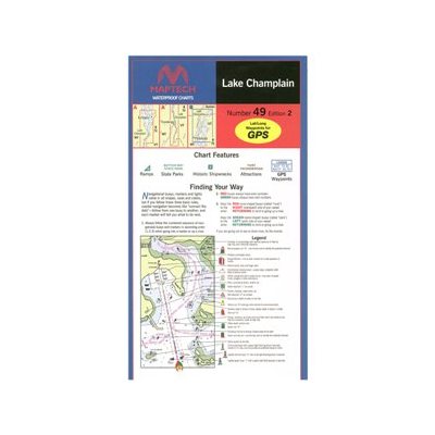
waterproof chart lake champlain
Product Code: MAPWPC049
lake champlain, 3rd edition
whitehall, ny to the richelieu river, quebec. featuring gps waypoints, state parks, ramp locations and information, and vt/ny border. 24" x 36", scale 1:57,000 with insets.
whitehall, ny to the richelieu river, quebec. featuring gps waypoints, state parks, ramp locations and information, and vt/ny border. 24" x 36", scale 1:57,000 with insets.
| Warehouse | Qty Avail. | Availability |
|---|---|---|
| Entrepot : St-Eustache | 0 | Available on order |
| Gatineau | 0 | Available on order |
| Vaudreuil | 0 | Available on order |


